One Book on the Trail, Another Underwater
I’ve spent a decade of my career in travel publishing, editing and writing guidebooks for such leading publishers as Lonely Planet, National Geographic and Rough Guides. Below are the two books I’ve authored. They relate places and activities that defined me at those respective stages of my life.

Appalachian Trail Thru-Hike Planner
By David Lauterborn
Appalachian Trail Conservancy, 2005 (updated 2020)
Paralleling the Eastern Seaboard, the Appalachian Trail extends nearly 2,200 miles from its southern terminus on Georgia’s Springer Mountain through North Carolina, Tennessee, Virginia, West Virginia, Maryland, Pennsylvania, New Jersey, New York, Connecticut, Massachusetts, Vermont and New Hampshire before climbing to its northern terminus atop Maine’s Mount Katahdin. Of the estimated few thousand hardy souls who set out to thru-hike the trail each year, only a few hundred reach the finish line. The challenging journey takes on average about six months.
Today my wife, Jill, and I live just a few hundred yards downslope of the Appalachian Trail, in the Shenandoah foothills near Harpers Ferry, W.Va. Our introduction to the trail came in the mid-1990s when living and working as newlyweds in Atlanta, Ga. A long day trip north of us was Amicalola Falls State Park, home to the approach trail to Springer Mountain. We’ve since hiked sections of the trail in Georgia, North Carolina, Virginia, West Virginia and Maryland. Do Jill and I have what it takes to be thru-hikers ourselves? Time will tell.
In 2005 Brian King, publisher of the nonprofit Appalachian Trail Conservancy (dedicated to the preservation of the AT), had me rewrite its Appalachian Trail Thru-Hike Planner, the seventh edition of which the ATC published in 2020. With tear-out worksheets and charts, it helps thru-hikers chart a course, budget, choose gear, plan meals and otherwise prepare.
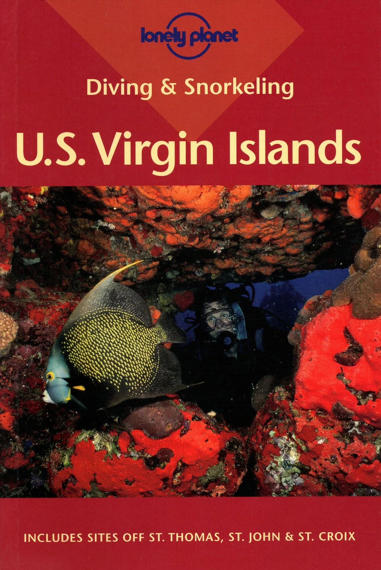
Diving & Snorkeling U.S. Virgin Islands
By David Lauterborn
Lonely Planet, 2002
There are no coincidences.
In 1980 my family fled New York for winter vacation in the U.S. Virgin Islands. That week I went on my first-ever scuba dive, with my father, Bob, and my brother, Mike. We dove on the intact shipwreck of the freighter Cartanza Señora at Buck Island, on the south shore of St. Thomas. The dive shop we used was the St. Thomas Diving Club, out of Bolongo Bay.
Eighteen years later Jill and I moved to St. Thomas, where we worked night shifts as editors for the Virgin Islands Daily News and day shifts as PADI divemasters for — you guessed it — the St. Thomas Diving Club. A favorite site of shop owner Bill Letts was the wreck of the Cartanza Señora, which by then the surge from hurricanes had broken into three sections.
In 2000, a year after Jill and I moved back stateside, travel publisher Lonely Planet hired me to edit its Pisces Books series of diving and snorkeling guides. When editor in chief Roslyn Bullas asked if I would like to update Diving & Snorkeling U.S. Virgin Islands, I jumped at the chance.
I spent six weeks diving every site in the U.S.V.I., paying for my passage by working on the dive boats and guiding fellow divers. I wrote each site description in real time, underwater on plastic slates using mechanical pencils. Two of my photos appear in the book, as do my dive site sketches of the wrecks of the Cartanza Señora and the WIT Shoal (LST 467).
The result is the beautiful edition pictured, designed by Pisces art director Emily Douglas.